Geolocate

Indranagar topographic map

Click on the map to display elevation.

About this map

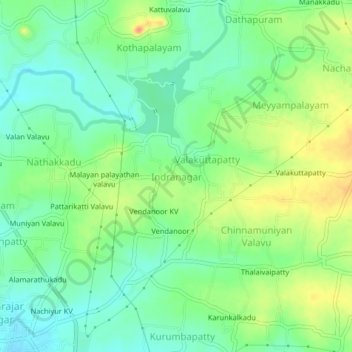
Name: Indranagar topographic map, elevation, terrain.

Location: Indranagar, Edappadi, Salem, Tamil Nadu, 637105, India (11.58357 77.85003 11.62357 77.89003)

Average elevation: 223 m

Minimum elevation: 205 m

Maximum elevation: 251 m

Gear up for your next adventure:

Lightweight Backpacking Tent - Compact tent for efficient hiking trips
🔭Compact Monocular - One-handed bird watching and trail spotting
🧴Sunscreen SPF - Broad-spectrum sunscreen for outdoor activities
💧Hydration Pack - Hands-free hydration system for long hikes
🧭GPS Handheld Device - Reliable GPS navigation for outdoor adventures

As an Amazon Associate, this site earns from qualifying purchases at no extra cost to you.