Geolocate

Borgaretto topographic map

Click on the map to display elevation.

About this map

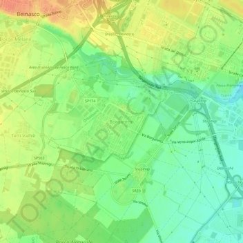
Name: Borgaretto topographic map, elevation, terrain.

Location: Borgaretto, Beinasco, Torino, Piemonte, 10092, Italia (44.98438 7.58117 45.02438 7.62117)

Average elevation: 249 m

Minimum elevation: 228 m

Maximum elevation: 272 m

Gear up for your next adventure:

🚑Survival Whistle - Signal for help across long distances in mountains
🧭GPS Tracker - Track your location in remote areas safely
🧢Hiking Hat - Sun-protective and breathable hats for long treks
🥫Freeze-Dried Meals - Lightweight, high-calorie nutrition for multi-day treks
Lightweight Backpacking Tent - Compact tent for efficient hiking trips

As an Amazon Associate, this site earns from qualifying purchases at no extra cost to you.