
Thank you for supporting this site ❤️
Make a donation
Make a donation
Gear up for your next adventure:
As an Amazon Associate, this site earns from qualifying purchases at no extra cost to you.
الحصون topographic map
Click on the map to display elevation.
Thank you for supporting this site ❤️
Make a donation
Make a donation
Gear up for your next adventure:
As an Amazon Associate, this site earns from qualifying purchases at no extra cost to you.
About this map
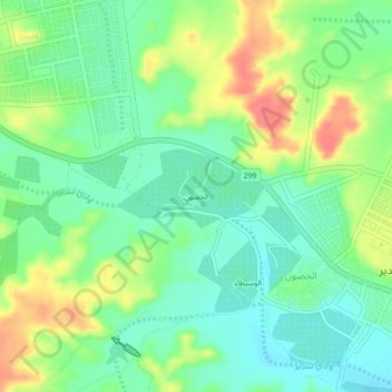
Name: الحصون topographic map, elevation, terrain.
Location: الحصون, Hawtat Sudayr, Al Majmaah, Riyadh Region, Saudi Arabia (25.58517 45.57437 25.62517 45.61437)
Average elevation: 729 m
Minimum elevation: 705 m
Maximum elevation: 767 m
Thank you for supporting this site ❤️
Make a donation
Make a donation
Gear up for your next adventure:
As an Amazon Associate, this site earns from qualifying purchases at no extra cost to you.