
Aux Sable topographic map
Click on the map to display elevation.
About this map
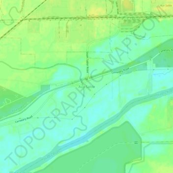
Name: Aux Sable topographic map, elevation, terrain.
Average elevation: 156 m
Minimum elevation: 147 m
Maximum elevation: 165 m
Other topographic maps
Click on a map to view its topography, its elevation and its terrain.
Morris
United States > Illinois > Grundy County
Morris is located in northeast Grundy County along U.S. Route 6 and Illinois Route 47 and on the north side of the Illinois River at an elevation of 515 feet (157 m).
Average elevation: 162 m
William G. Stratton State Park
United States > Illinois > Grundy County > Morris
Average elevation: 155 m
Morris
United States > Illinois > Grundy County
Morris is located in northeast Grundy County along U.S. Route 6 and Illinois Route 47 and on the north side of the Illinois River at an elevation of 515 feet (157 m).
Average elevation: 162 m