
Thank you for supporting this site ❤️
Make a donation
Make a donation
Gear up for your next adventure:
As an Amazon Associate, this site earns from qualifying purchases at no extra cost to you.
Spedalicchio topographic map
Click on the map to display elevation.
Thank you for supporting this site ❤️
Make a donation
Make a donation
Gear up for your next adventure:
As an Amazon Associate, this site earns from qualifying purchases at no extra cost to you.
About this map
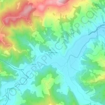
Name: Spedalicchio topographic map, elevation, terrain.
Location: Spedalicchio, Umbertide, Perugia, Umbria, 06019, Italia (43.28510 12.21724 43.32510 12.25724)
Average elevation: 367 m
Minimum elevation: 257 m
Maximum elevation: 627 m
Thank you for supporting this site ❤️
Make a donation
Make a donation
Gear up for your next adventure:
As an Amazon Associate, this site earns from qualifying purchases at no extra cost to you.