Geolocate

Aguila topographic map

Click on the map to display elevation.

About this map

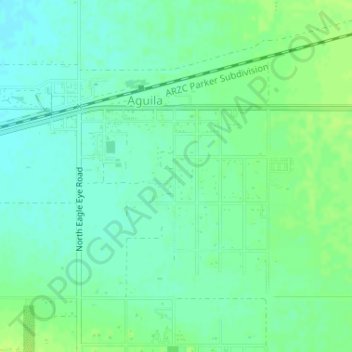
Name: Aguila topographic map, elevation, terrain.

Location: Aguila, Maricopa County, Arizona, United States (33.92830 -113.18563 33.94718 -113.15474)

Average elevation: 664 m

Minimum elevation: 657 m

Maximum elevation: 670 m

Gear up for your next adventure:

🕶️Polarized Sunglasses - Protect your eyes with durable polarized lenses
🦶Hiking Shoe Insoles - Added support for high arches and long days on feet
🎒Hiking Daypack - Lightweight and durable backpacks for day trips and excursions
🥾Trail Hiking Boots - Supportive boots for rough trails
🧦Outdoor Socks - Durable socks designed for hiking and outdoor sports

As an Amazon Associate, this site earns from qualifying purchases at no extra cost to you.