
Chilas topographic map
Interactive map
Click on the map to display elevation.
About this map
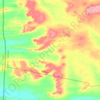
Name: Chilas topographic map, elevation, terrain.
Location: Chilas, Gudu, Sokoto State, Nigeria (13.20109 4.14597 13.37695 4.42029)
Average elevation: 256 m
Minimum elevation: 210 m
Maximum elevation: 316 m