Geolocate

La Nevada topographic map

Click on the map to display elevation.

About this map

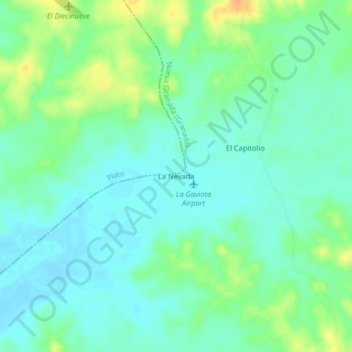
Name: La Nevada topographic map, elevation, terrain.

Location: La Nevada, Nueva Granada (Granada), Magdalena, Colombia (9.62530 -74.44700 9.66530 -74.40700)

Average elevation: 66 m

Minimum elevation: 55 m

Maximum elevation: 88 m

Gear up for your next adventure:

🥾Mountain Hiking Shoes - Shoes with superior grip for mountainous terrain
🛁Quick-Dry Microfiber Towel - Space-saving towel that dries rapidly on the move
🦯Trekking Poles - Reduced impact on joints for steep topographic climbs
🪑Insulated Seat Pad - Protect your seat from cold rocks and wet logs
🎒Hiking Backpack - Lightweight and ergonomic backpacks for day hikes or multi-day treks

As an Amazon Associate, this site earns from qualifying purchases at no extra cost to you.