Geolocate

Okaya topographic map

Click on the map to display elevation.

About this map

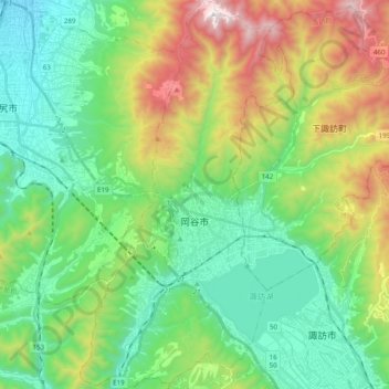
Name: Okaya topographic map, elevation, terrain.

Location: Okaya, Nagano Prefecture, Japan (36.00959 137.99157 36.16849 138.10153)

Average elevation: 1,030 m

Minimum elevation: 636 m

Maximum elevation: 1,929 m

Gear up for your next adventure:

🛏️Sleeping Bag - Warm and compact sleeping bags for outdoor camping
🎒Hiking Daypack - Lightweight and durable backpacks for day trips and excursions
🥾Waterproof Hiking Boots - Boots keeping your feet dry in wet conditions
💡Compact LED Flashlight - Powerful and portable flashlight for outdoor use
🔥Emergency Fire Starter - Reliable ignition source for all weather conditions

As an Amazon Associate, this site earns from qualifying purchases at no extra cost to you.