Geolocate

Case Garbatini topographic map

Click on the map to display elevation.

About this map

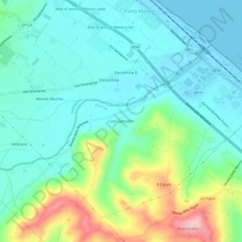
Name: Case Garbatini topographic map, elevation, terrain.

Location: Case Garbatini, Senigallia, Ancona, Marche, 61037, Italy (43.71781 13.13173 43.75781 13.17173)

Average elevation: 43 m

Minimum elevation: -2 m

Maximum elevation: 164 m

Gear up for your next adventure:

🦟Insect Repellent - Keep mosquitoes and black flies away in wooded areas
🧥Fleece Jacket - Warm and lightweight jacket for layering
🛶Kayak Accessories - Essential gear for safe and fun kayaking adventures
🧦Merino Wool Socks - Moisture-wicking comfort for long-distance hiking
🥾Approach Shoes - Shoes designed for climbing approaches and rugged trails

As an Amazon Associate, this site earns from qualifying purchases at no extra cost to you.