Geolocate

Conway topographic map

Click on the map to display elevation.

About this map

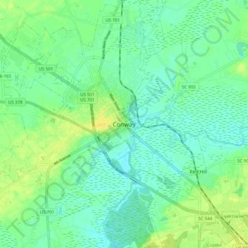
Name: Conway topographic map, elevation, terrain.

Location: Conway, Horry County, South Carolina, 29528, United States (33.67600 -79.20781 33.99600 -78.88781)

Average elevation: 12 m

Minimum elevation: -3 m

Maximum elevation: 35 m

Gear up for your next adventure:

🛶Kayak Accessories - Essential gear for safe and fun kayaking adventures
Family Camping Tent - Spacious tent suitable for family camping trips
🧥Thermal Fleece Jacket - Versatile insulation for changing mountain temperatures
🧢Sun Protection Cap - Breathable cap to protect from sun exposure
🚲Handlebar Phone Mount - View topographic-map.com live while cycling

As an Amazon Associate, this site earns from qualifying purchases at no extra cost to you.