
Thank you for supporting this site ❤️
Make a donation
Make a donation
Gear up for your next adventure:
As an Amazon Associate, this site earns from qualifying purchases at no extra cost to you.
Vasconha topographic map
Click on the map to display elevation.
Thank you for supporting this site ❤️
Make a donation
Make a donation
Gear up for your next adventure:
As an Amazon Associate, this site earns from qualifying purchases at no extra cost to you.
About this map
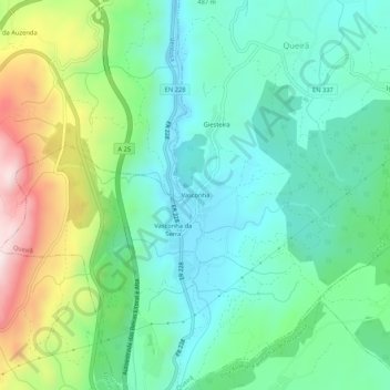
Name: Vasconha topographic map, elevation, terrain.
Location: Vasconha, Queirã, Vouzela, Viseu, Portugal (40.65475 -8.08663 40.69475 -8.04663)
Average elevation: 527 m
Minimum elevation: 365 m
Maximum elevation: 927 m
Thank you for supporting this site ❤️
Make a donation
Make a donation
Gear up for your next adventure:
As an Amazon Associate, this site earns from qualifying purchases at no extra cost to you.