
Martin Hills topographic map
Click on the map to display elevation.
About this map
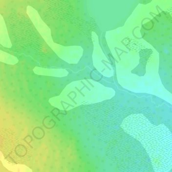
Name: Martin Hills topographic map, elevation, terrain.
Location: Martin Hills, Dehcho Region, Northwest Territories, Canada (61.83148 -122.26868 61.83158 -122.26858)
Average elevation: 629 m
Minimum elevation: 619 m
Maximum elevation: 642 m
Dehcho Region trails, hiking, mountain biking, running and outdoor activities
Other topographic maps
Click on a map to view its topography, its elevation and its terrain.
Jean Marie River
Canada > Northwest Territories > Dehcho Region > Jean Marie River
Average elevation: 142 m