
Three Forks topographic map
Click on the map to display elevation.
About this map
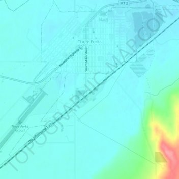
Name: Three Forks topographic map, elevation, terrain.
Location: Three Forks, Gallatin County, Montana, United States (45.86781 -111.58054 45.90006 -111.53467)
Average elevation: 1,249 m
Minimum elevation: 1,236 m
Maximum elevation: 1,327 m
Other topographic maps
Click on a map to view its topography, its elevation and its terrain.
Bozeman
United States > Montana > Gallatin County > Bozeman
Bozeman is located at an elevation of 4,820 feet (1,470 m). The Bridger Mountains are to the north-northeast, the Tobacco Root Mountains to the west-south-west, the Big Belt Mountains and Horseshoe Hills to the northwest, the Hyalite Peaks of the northern Gallatin Range to the south and the Spanish Peaks of…
Average elevation: 1,679 m