Geolocate

Marsh Pass topographic map

Click on the map to display elevation.

Marsh Pass

Marsh Pass, also known as La Puerta Limita, "The Border Gate", is a gap in Navajo County, Arizona. It lies at an elevation of 6,102 feet (1,860 meters) along Laguña Creek. The name of Marsh Pass is thought to come from its location along a chain of swamps and lakes in the pass, that have since been drained by a deep arroyo.

Wikipedia (CC-BY-SA 3.0)

About this map

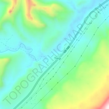
Name: Marsh Pass topographic map, elevation, terrain.

Location: Marsh Pass, Tsegi, Western Navajo Agency, Navajo County, Arizona, United States (36.65121 -110.42983 36.65131 -110.42973)

Average elevation: 1,961 m

Minimum elevation: 1,833 m

Maximum elevation: 2,320 m

Gear up for your next adventure:

🍽️Titanium Camping Spork - Ultralight and indestructible eating utensil
💧Filtered Water Bottle - Safe drinking water on the go
🧣Merino Neck Gaiter - Protects against wind, sun, and cold at high altitudes
🥾Approach Boots - Comfortable boots for hiking and climbing approaches
🧢Beanie Hat - Keep your head warm in cold weather

As an Amazon Associate, this site earns from qualifying purchases at no extra cost to you.