Geolocate

Campus Universitaire topographic map

Click on the map to display elevation.

About this map
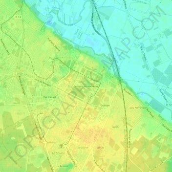
Name: Campus Universitaire topographic map, elevation, terrain.

Location: Campus Universitaire, Orléans, Loiret, Centre-Val de Loire, France métropolitaine, 45071, France (47.82369 1.91439 47.86369 1.95439)

Average elevation: 104 m

Minimum elevation: 90 m

Maximum elevation: 114 m

Other topographic maps

Click on a map to view its topography, its elevation and its terrain.

45000

France > Centre-Val de Loire > Loiret > Orléans > Cité Emile Zola

Average elevation: 112 m

Gear up for your next adventure:

🧴Bear Spray Holster - Quick-access carry for essential Canadian wilderness safety
🥾Approach Shoes - Shoes designed for climbing approaches and rugged trails
⛺Backpacking Tent - Lightweight tent for long-distance hiking trips
🦶Anti-Blister Balm - Prevents friction and hotspots during long ascents
🧥Waterproof Jacket - Lightweight rain jackets for hiking and outdoor activities

As an Amazon Associate, this site earns from qualifying purchases at no extra cost to you.