Geolocate

Lodge Hall topographic map

Click on the map to display elevation.

About this map

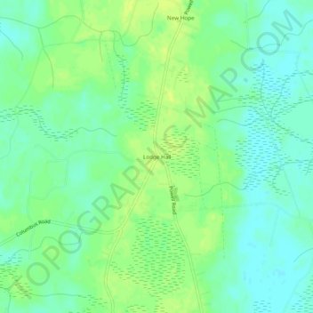
Name: Lodge Hall topographic map, elevation, terrain.

Location: Lodge Hall, Georgetown County, South Carolina, United States (33.31295 -79.49451 33.35295 -79.45451)

Average elevation: 8 m

Minimum elevation: 0 m

Maximum elevation: 16 m

Gear up for your next adventure:

🧢Outdoor Cap - Protective cap for sun and rain during hikes
🧦Outdoor Socks - Durable socks designed for hiking and outdoor sports
🧦Merino Wool Socks - Moisture-wicking comfort for long-distance hiking
🪜Heavy Duty Carabiners - Multi-use clips for securing gear to your backpack
🎒Fully Waterproof Backpack - Total protection for photography gear and electronics

As an Amazon Associate, this site earns from qualifying purchases at no extra cost to you.