
Waldeck topographic map
Click on the map to display elevation.
About this map
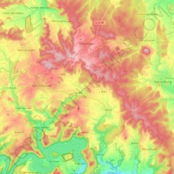
Name: Waldeck topographic map, elevation, terrain.
Location: Waldeck, Landkreis Waldeck-Frankenberg, Hesse, 34513, Germany (51.17194 8.94100 51.31416 9.13069)
Average elevation: 349 m
Minimum elevation: 197 m
Maximum elevation: 482 m