Geolocate

Galliano topographic map

Click on the map to display elevation.

About this map
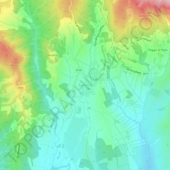
Name: Galliano topographic map, elevation, terrain.

Location: Galliano, Barberino di Mugello, Firenze, Toscana, Italia (43.99607 11.27134 44.03607 11.31134)

Average elevation: 339 m

Minimum elevation: 229 m

Maximum elevation: 595 m

Gear up for your next adventure:

🥾Waterproof Trail Shoes - Shoes designed to handle wet terrain
🥾Hiking Shoes - Durable and comfortable shoes for trail hiking
🧊Insulated Water Bottle - Keeps drinks cold in summer and prevents freezing in winter
🥾Lightweight Hiking Shoes - Comfortable shoes for day hikes
🔭Outdoor Binoculars - Lightweight binoculars for birdwatching and hiking

As an Amazon Associate, this site earns from qualifying purchases at no extra cost to you.