Geolocate

Nasipur topographic map

Click on the map to display elevation.

About this map

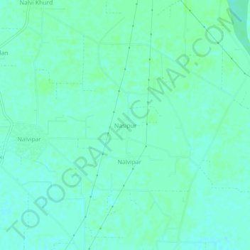
Name: Nasipur topographic map, elevation, terrain.

Location: Nasipur, Karnal, Haryana, India (29.66685 77.09374 29.70685 77.13374)

Average elevation: 247 m

Minimum elevation: 243 m

Maximum elevation: 250 m

Gear up for your next adventure:

💡Portable Camping Lamp - Rechargeable lamp for campsite lighting
🧴Outdoor Sunscreen - High SPF protection for high-altitude UV exposure
🚑Survival Whistle - Signal for help across long distances in mountains
🔋Emergency Crank Radio - Weather alerts and power without needing batteries
🩹Compact First Aid Kit - Pre-packed essentials for common trail injuries

As an Amazon Associate, this site earns from qualifying purchases at no extra cost to you.