Geolocate

Gonur topographic map

Click on the map to display elevation.

About this map
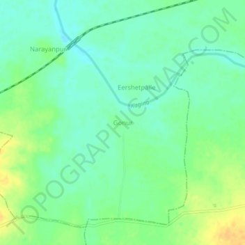
Name: Gonur topographic map, elevation, terrain.

Location: Gonur, Tandur mandal, Vikarabad, Telangana, 501143, India (17.20671 77.52483 17.24671 77.56483)

Average elevation: 443 m

Minimum elevation: 432 m

Maximum elevation: 459 m

Gear up for your next adventure:

🔭Compact Monocular - One-handed bird watching and trail spotting
🧥Waterproof Hiking Jacket - Protect yourself from rain and wind while hiking
🧥Thermal Fleece Jacket - Versatile insulation for changing mountain temperatures
🧣Evaporative Cooling Towel - Beat the heat during intense summer climbs
🥘Camping Cookware Set - Compact nesting pots and pans for trail cooking

As an Amazon Associate, this site earns from qualifying purchases at no extra cost to you.