
Thank you for supporting this site ❤️
Make a donation
Make a donation
Gear up for your next adventure:
As an Amazon Associate, this site earns from qualifying purchases at no extra cost to you.
Hutzdorf topographic map
Click on the map to display elevation.
Thank you for supporting this site ❤️
Make a donation
Make a donation
Gear up for your next adventure:
As an Amazon Associate, this site earns from qualifying purchases at no extra cost to you.
About this map
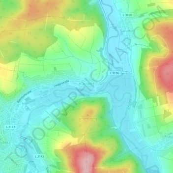
Name: Hutzdorf topographic map, elevation, terrain.
Location: Hutzdorf, Schlitz, Vogelsbergkreis, Hessen, Deutschland (50.66782 9.54899 50.70044 9.59991)
Average elevation: 269 m
Minimum elevation: 214 m
Maximum elevation: 384 m
Thank you for supporting this site ❤️
Make a donation
Make a donation
Gear up for your next adventure:
As an Amazon Associate, this site earns from qualifying purchases at no extra cost to you.