
风口 topographic map
Interactive map
Click on the map to display elevation.
About this map
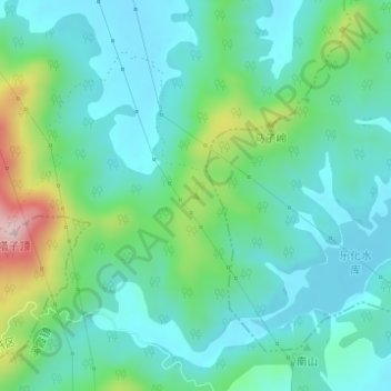
Name: 风口 topographic map, elevation, terrain.
Location: 风口, 溪霞镇, 新建区, 南昌市, 江西省, 中国 (28.82531 115.83913 28.82541 115.83923)
Average elevation: 105 m
Minimum elevation: 32 m
Maximum elevation: 338 m
Other topographic maps
Click on a map to view its topography, its elevation and its terrain.