
Padum topographic map
Click on the map to display elevation.
Padum
Padum is at the centre of the tri-armed Zanskar valley. It has an average elevation of 3,669 m (12,037 ft). There are several villages to the north-east of Padum leading to Karsha monastery.
About this map
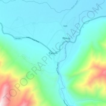
Name: Padum topographic map, elevation, terrain.
Location: Padum, Zanskar tehsil, Ladakh, 194302, India (33.42914 76.83818 33.50914 76.91818)
Average elevation: 3,847 m
Minimum elevation: 3,491 m
Maximum elevation: 5,332 m