
Jutiapa topographic map
Interactive map
Click on the map to display elevation.
About this map
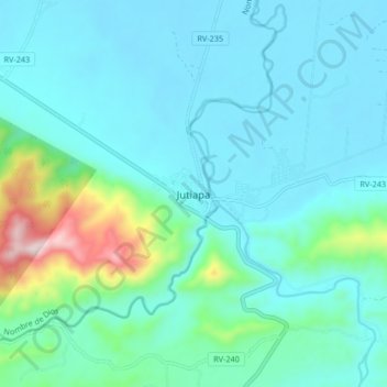
Name: Jutiapa topographic map, elevation, terrain.
Location: Jutiapa, Atlántida, Honduras (15.70404 -86.55367 15.78404 -86.47367)
Average elevation: 97 m
Minimum elevation: 2 m
Maximum elevation: 599 m
Other topographic maps
Click on a map to view its topography, its elevation and its terrain.