Geolocate

Newton topographic map

Click on the map to display elevation.

About this map

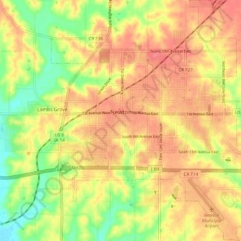
Name: Newton topographic map, elevation, terrain.

Location: Newton, Jasper County, Iowa, 50208, United States (41.66253 -93.08599 41.72045 -92.99978)

Average elevation: 277 m

Minimum elevation: 238 m

Maximum elevation: 302 m

Gear up for your next adventure:

💡Portable Camping Lamp - Rechargeable lamp for campsite lighting
🥾Trekking Boots - Durable boots for long-distance trekking
🧢Outdoor Visor - Breathable visor for sunny hikes
🦯Trekking Poles - Reduced impact on joints for steep topographic climbs
🥾Mountaineering Boots - Supportive boots for climbing and high-altitude hiking

As an Amazon Associate, this site earns from qualifying purchases at no extra cost to you.