Geolocate

Chia topographic map

Click on the map to display elevation.

About this map

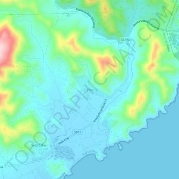
Name: Chia topographic map, elevation, terrain.

Location: Chia, Domus De Maria, Cagliari, Sardinia, 09010, Italy (38.89057 8.86185 38.93057 8.90185)

Average elevation: 54 m

Minimum elevation: -3 m

Maximum elevation: 272 m

Gear up for your next adventure:

🦶Hiking Shoe Insoles - Added support for high arches and long days on feet
Tent Footprint - Protect tent floor and increase durability
🔦LED Flashlight - Powerful and long-lasting flashlight for camping and emergencies
🥫Freeze-Dried Meals - Lightweight, high-calorie nutrition for multi-day treks
💡LED Camping Lantern - Illuminate your campsite with long-lasting lanterns

As an Amazon Associate, this site earns from qualifying purchases at no extra cost to you.