Geolocate

Matamec topographic map

Click on the map to display elevation.

About this map

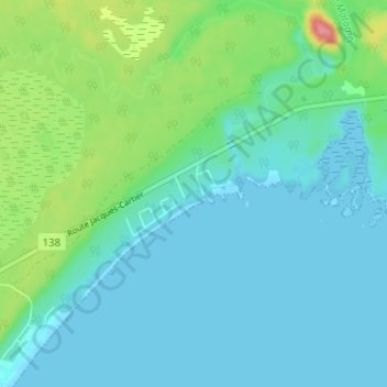
Name: Matamec topographic map, elevation, terrain.

Location: Matamec, Sept-Îles, Sept-Rivières, Côte-Nord, Quebec, Canada (50.26255 -65.99554 50.30255 -65.95554)

Average elevation: 19 m

Minimum elevation: -1 m

Maximum elevation: 91 m

Gear up for your next adventure:

🔥Camping Stove - Portable stoves to cook outdoors with ease
🔦LED Flashlight - Powerful and long-lasting flashlight for camping and emergencies
🥾Durable Hiking Shoes - Long-lasting shoes for frequent hiking
🔦LED Headlamp - Hands-free lighting for early morning starts or late finishes
🧰Survival Kit - Essential gear for emergencies in the wilderness

As an Amazon Associate, this site earns from qualifying purchases at no extra cost to you.