Geolocate

Cumnock topographic map

Click on the map to display elevation.

About this map

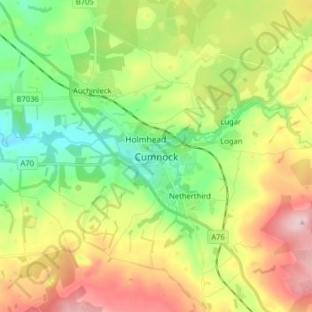
Name: Cumnock topographic map, elevation, terrain.

Location: Cumnock, East Ayrshire, Scotland, KA18 1AY, United Kingdom (55.41406 -4.30610 55.49406 -4.22610)

Average elevation: 187 m

Minimum elevation: 88 m

Maximum elevation: 331 m

Gear up for your next adventure:

💡LED Headlamp - Hands-free illumination for night hiking and camping
🥾Waterproof Trail Shoes - Shoes designed to handle wet terrain
💧Hydration Bladder - Hands-free hydration solution for long treks
Lightweight Camping Tent - Portable shelter optimized for Canadian backcountry camping
🧶550 Survival Paracord - Versatile utility cord for emergency repairs and rigging

As an Amazon Associate, this site earns from qualifying purchases at no extra cost to you.