
Rio Ada topographic map
Click on the map to display elevation.
About this map
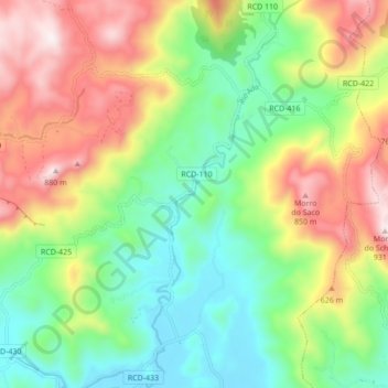
Name: Rio Ada topographic map, elevation, terrain.
Average elevation: 391 m
Minimum elevation: 72 m
Maximum elevation: 878 m
Other topographic maps
Click on a map to view its topography, its elevation and its terrain.
Barragem Pinhal
Brasil > Santa Catarina > Rio dos Cedros > Barragem Rio Bonito
Average elevation: 761 m