
Maranguape I topographic map
Click on the map to display elevation.
About this map
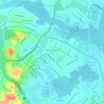
Name: Maranguape I topographic map, elevation, terrain.
Average elevation: 11 m
Minimum elevation: 0 m
Maximum elevation: 56 m
Other topographic maps
Click on a map to view its topography, its elevation and its terrain.
Pracinha de jardim paulista alto
Brasil > Pernambuco > Região Metropolitana do Recife > Paulista
Average elevation: 43 m
Jardim Paulista
Brasil > Pernambuco > Região Metropolitana do Recife > Paulista
Average elevation: 37 m