Geolocate

Malingon topographic map

Click on the map to display elevation.

About this map

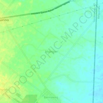
Name: Malingon topographic map, elevation, terrain.

Location: Malingon, President Quirino, Sultan Kudarat, 9616, Philippines (6.66790 124.74013 6.70790 124.78013)

Average elevation: 23 m

Minimum elevation: 15 m

Maximum elevation: 33 m

Gear up for your next adventure:

💧Reusable Water Bottle - Durable water bottles for hydration on trails
🥾All-Terrain Hiking Boots - Versatile boots for varied hiking conditions
🧤Thermal Hiking Gloves - Grip-enhanced gloves for cold-weather altitude trekking
🥾Trail Running Shoes - Lightweight and durable shoes for trail running
🥾Waterproof Hiking Boots - Boots keeping your feet dry in wet conditions

As an Amazon Associate, this site earns from qualifying purchases at no extra cost to you.