Geolocate

Buttonwillow topographic map

Click on the map to display elevation.

Buttonwillow

Buttonwillow is an unincorporated community and census-designated place in the San Joaquin Valley, in Kern County, California. Buttonwillow is 26 miles (42 km) west of Bakersfield, at an elevation of 269 feet (82 m)). The population was 1,508 at the 2010 census, up from 1,266 at the 2000 census. The center of population of California is located in Buttonwillow.

Wikipedia (CC-BY-SA 3.0)

About this map

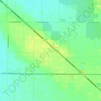
Name: Buttonwillow topographic map, elevation, terrain.

Location: Buttonwillow, Kern County, California, 93206, United States (35.39478 -119.49107 35.44234 -119.38765)

Average elevation: 87 m

Minimum elevation: 80 m

Maximum elevation: 95 m

Gear up for your next adventure:

🧴Outdoor Sunscreen - High SPF protection for high-altitude UV exposure
Lightweight Backpacking Tent - Compact tent for efficient hiking trips
🪑Ultralight Camping Stool - Compact seating for rest stops during long hikes
🥾Trail Running Boots - Durable shoes designed for trail running
🥽Outdoor Goggles - Protective eyewear for outdoor activities

As an Amazon Associate, this site earns from qualifying purchases at no extra cost to you.