
Fuentes del Valle topographic map
Interactive map
Click on the map to display elevation.
About this map
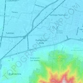
Name: Fuentes del Valle topographic map, elevation, terrain.
Location: Fuentes del Valle, Tultitlán, 54910, México (19.59341 -99.17918 19.67341 -99.09918)
Average elevation: 2,306 m
Minimum elevation: 2,236 m
Maximum elevation: 2,979 m