Geolocate

Kuari topographic map

Click on the map to display elevation.

About this map

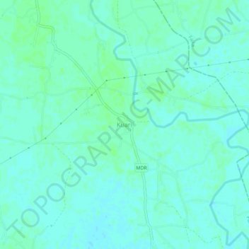
Name: Kuari topographic map, elevation, terrain.

Location: Kuari, Dhamdaha, Purnia District, Bihar, India (25.65391 87.21622 25.69391 87.25622)

Average elevation: 37 m

Minimum elevation: 34 m

Maximum elevation: 40 m

Gear up for your next adventure:

🧳Compression Sacks - Maximize space in your backpack by shrinking gear
Camping Essentials - All-in-one gear for a comfortable camping trip
🐕Hiking Dog Pack - Let your canine companion carry their own water and food
Family Camping Tent - Spacious tent suitable for family camping trips
🧥Softshell Hiking Jacket - The perfect balance of wind protection and breathability

As an Amazon Associate, this site earns from qualifying purchases at no extra cost to you.