Geolocate

Sangyuanli topographic map

Click on the map to display elevation.

About this map

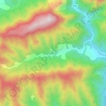
Name: Sangyuanli topographic map, elevation, terrain.

Location: Sangyuanli, Kang County, Longnan, Gansu, China (33.28138 105.57781 33.32138 105.61781)

Average elevation: 1,480 m

Minimum elevation: 1,119 m

Maximum elevation: 1,899 m

Gear up for your next adventure:

🔋Solar Power Bank - Keep your GPS and devices charged during long outdoor trips
🧦Thermal Socks - Warm socks for winter hiking or camping
🥾Hiking Gaiters - Protect legs and shoes from mud, snow, and debris
🛰️Satellite Messenger - Emergency communication for areas with no cell service
🚑Survival Whistle - Signal for help across long distances in mountains

As an Amazon Associate, this site earns from qualifying purchases at no extra cost to you.