Geolocate

baliya topographic map

Click on the map to display elevation.

About this map

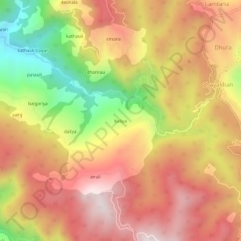
Name: baliya topographic map, elevation, terrain.

Location: baliya, Lamgara Tehsil, Almora, Uttarakhand, 263625, India (29.49008 79.71946 29.53008 79.75946)

Average elevation: 1,754 m

Minimum elevation: 1,295 m

Maximum elevation: 2,081 m

Gear up for your next adventure:

🥾Light Trekking Boots - Supportive boots for multi-day treks
🛰️Satellite Messenger - Emergency communication for areas with no cell service
🛁Quick-Dry Microfiber Towel - Space-saving towel that dries rapidly on the move
Family Camping Tent - Spacious tent suitable for family camping trips
🚲Handlebar Phone Mount - View topographic-map.com live while cycling

As an Amazon Associate, this site earns from qualifying purchases at no extra cost to you.