Geolocate

Flatruet topographic map

Click on the map to display elevation.

About this map

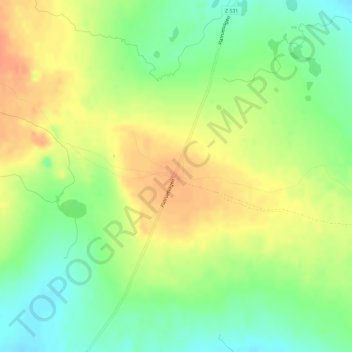
Name: Flatruet topographic map, elevation, terrain.

Location: Flatruet, Flatruetvägen, Bergs kommun, Jämtland County, Sweden (62.73999 12.74130 62.74009 12.74140)

Average elevation: 956 m

Minimum elevation: 935 m

Maximum elevation: 975 m

Gear up for your next adventure:

🌬️Windproof Camp Stove - Efficient cooking even on exposed mountain peaks
🔋Emergency Crank Radio - Weather alerts and power without needing batteries
Bushcraft Tarp - Versatile emergency shelter or gear protection
🧢Sun Protection Cap - Breathable cap to protect from sun exposure
🧢Outdoor Visor - Breathable visor for sunny hikes

As an Amazon Associate, this site earns from qualifying purchases at no extra cost to you.