
Thank you for supporting this site ❤️
Make a donation
Make a donation
Gear up for your next adventure:
As an Amazon Associate, this site earns from qualifying purchases at no extra cost to you.
Wakaari topographic map
Click on the map to display elevation.
Thank you for supporting this site ❤️
Make a donation
Make a donation
Gear up for your next adventure:
As an Amazon Associate, this site earns from qualifying purchases at no extra cost to you.
About this map
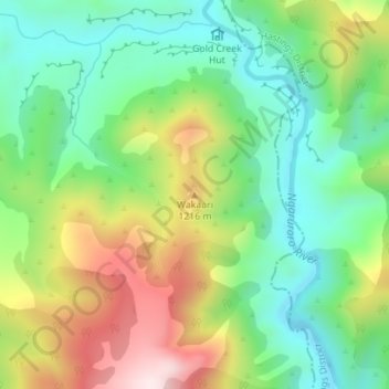
Name: Wakaari topographic map, elevation, terrain.
Location: Wakaari, Rangitīkei District, Hawke's Bay, New Zealand (-39.20531 176.18602 -39.20521 176.18612)
Average elevation: 1,067 m
Minimum elevation: 892 m
Maximum elevation: 1,360 m
Thank you for supporting this site ❤️
Make a donation
Make a donation
Gear up for your next adventure:
As an Amazon Associate, this site earns from qualifying purchases at no extra cost to you.