Geolocate

Edge Hill topographic map

Click on the map to display elevation.

About this map

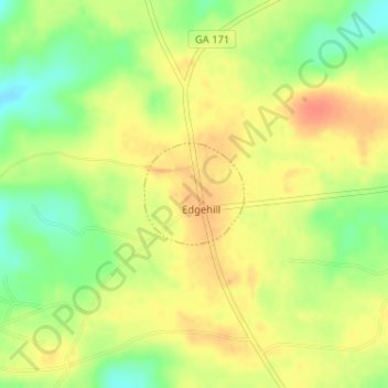
Name: Edge Hill topographic map, elevation, terrain.

Location: Edge Hill, Glascock County, Georgia, United States (33.14990 -82.62910 33.15696 -82.62066)

Average elevation: 136 m

Minimum elevation: 110 m

Maximum elevation: 155 m

Gear up for your next adventure:

🔋Emergency Crank Radio - Weather alerts and power without needing batteries
💧Hydration Pack - Hands-free hydration system for long hikes
🧴Waterproofing Spray - Restore the DWR coating on jackets and tents
🧳Compression Sacks - Maximize space in your backpack by shrinking gear
🔥Emergency Fire Starter - Reliable ignition source for all weather conditions

As an Amazon Associate, this site earns from qualifying purchases at no extra cost to you.