Geolocate

Alpaugh topographic map

Click on the map to display elevation.

About this map

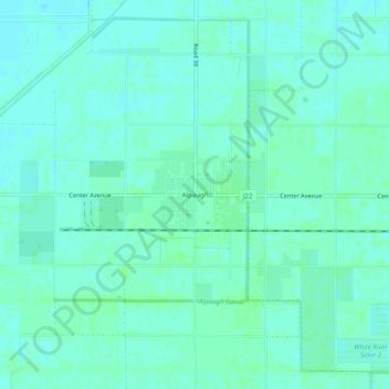
Name: Alpaugh topographic map, elevation, terrain.

Location: Alpaugh, Tulare County, California, 93201, United States (35.86773 -119.50734 35.90773 -119.46734)

Average elevation: 62 m

Minimum elevation: 59 m

Maximum elevation: 65 m

Other topographic maps

Click on a map to view its topography, its elevation and its terrain.

Visalia

United States > California > Tulare County

Average elevation: 102 m

Gear up for your next adventure:

🧴Insect Repellent - Protect yourself from bugs during outdoor adventures
🧭Orienteering Kit - Tools for map reading and navigation in the wild
💡Portable Camping Lamp - Rechargeable lamp for campsite lighting
💧Hydration Pack - Hands-free hydration system for long hikes
🧴Waterproofing Spray - Restore the DWR coating on jackets and tents

As an Amazon Associate, this site earns from qualifying purchases at no extra cost to you.