Geolocate

Magalolon topographic map

Click on the map to display elevation.

About this map

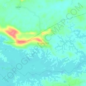
Name: Magalolon topographic map, elevation, terrain.

Location: Magalolon, Lumban, Laguna, Calabarzon, 4014, Philippines (14.28808 121.52272 14.32808 121.56272)

Average elevation: 299 m

Minimum elevation: 283 m

Maximum elevation: 363 m

Other topographic maps

Click on a map to view its topography, its elevation and its terrain.

Wawa

Philippines > Laguna > Lumban

Average elevation: 34 m

Lake Caliraya

Philippines > Laguna > Lumban > Lewin

Average elevation: 255 m

Lake Caliraya

Philippines > Laguna > Lumban > Lewin

Average elevation: 255 m

Gear up for your next adventure:

🦶Hiking Shoe Insoles - Added support for high arches and long days on feet
🧥Softshell Hiking Jacket - The perfect balance of wind protection and breathability
🦯Trekking Poles - Reduced impact on joints for steep topographic climbs
💡Solar Camping Lamp - Eco-friendly lighting for campsites
Lightweight Camping Tent - Portable shelter optimized for Canadian backcountry camping

As an Amazon Associate, this site earns from qualifying purchases at no extra cost to you.