
Chobe District topographic map
Interactive map
Click on the map to display elevation.
About this map
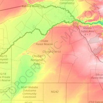
Name: Chobe District topographic map, elevation, terrain.
Location: Chobe District, Botswana (-19.00192 23.88218 -17.77814 25.98880)
Average elevation: 981 m
Minimum elevation: 896 m
Maximum elevation: 1,121 m