Geolocate

Pasir Panjang topographic map

Click on the map to display elevation.

About this map

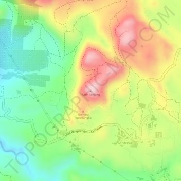
Name: Pasir Panjang topographic map, elevation, terrain.

Location: Pasir Panjang, Santosa, Bandung, West Java, Java, Indonesia (-7.24672 107.63439 -7.24662 107.63449)

Average elevation: 1,616 m

Minimum elevation: 1,507 m

Maximum elevation: 1,735 m

Gear up for your next adventure:

🥤Collapsible Travel Cup - Saves space and weight in your mess kit
🌬️Windproof Camp Stove - Efficient cooking even on exposed mountain peaks
🐕Hiking Dog Pack - Let your canine companion carry their own water and food
🏃Hydration Running Vest - Carry water and maps close to your body for speed
📷Outdoor Action Camera - Capture high-elevation views and rugged adventures

As an Amazon Associate, this site earns from qualifying purchases at no extra cost to you.