Geolocate

Sabang topographic map

Click on the map to display elevation.

About this map

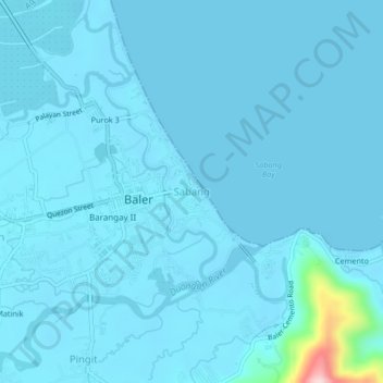
Name: Sabang topographic map, elevation, terrain.

Location: Sabang, Baler, Aurora, Central Luzon, 3200, Philippines (15.73993 121.54850 15.77993 121.58850)

Average elevation: 14 m

Minimum elevation: 0 m

Maximum elevation: 283 m

Other topographic maps

Click on a map to view its topography, its elevation and its terrain.

Dicasalarin Cove

Philippines > Aurora > Baler

Average elevation: 77 m

Aguang River

Philippines > Aurora > Baler

Average elevation: 36 m

Quezon Memorial Park

Philippines > Aurora > Baler > Sabang

Average elevation: 6 m

Gear up for your next adventure:

🔪Outdoor Multitool - Versatile tool for repairs and food prep in the wild
🏃Hydration Running Vest - Carry water and maps close to your body for speed
🔭Compact Monocular - One-handed bird watching and trail spotting
🧴First Aid Kit - Essential first aid supplies for outdoor emergencies
🥾Trail Hiking Boots - Supportive boots for rough trails

As an Amazon Associate, this site earns from qualifying purchases at no extra cost to you.