
Thank you for supporting this site ❤️
Make a donation
Make a donation
Gear up for your next adventure:
As an Amazon Associate, this site earns from qualifying purchases at no extra cost to you.
Bouwerschap topographic map
Click on the map to display elevation.
Thank you for supporting this site ❤️
Make a donation
Make a donation
Gear up for your next adventure:
As an Amazon Associate, this site earns from qualifying purchases at no extra cost to you.
About this map
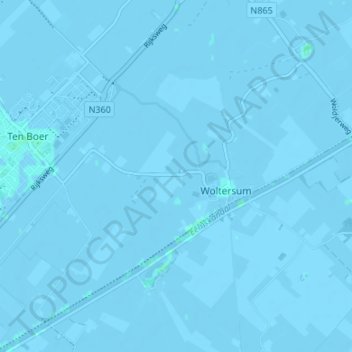
Name: Bouwerschap topographic map, elevation, terrain.
Location: Bouwerschap, Woltersum, Groningen, Nederland, 9795 TA, Nederland (53.25281 6.70336 53.29281 6.74336)
Average elevation: -1 m
Minimum elevation: -4 m
Maximum elevation: 2 m
Thank you for supporting this site ❤️
Make a donation
Make a donation
Gear up for your next adventure:
As an Amazon Associate, this site earns from qualifying purchases at no extra cost to you.