
Potter Valley topographic map
Click on the map to display elevation.
Potter Valley
Potter Valley is a census-designated place in Mendocino County, California, United States. It is located 18 miles (29 km) north-northeast of Ukiah, at an elevation of 948 feet (289 m) at the headwaters of the East Fork Russian River. The CDP population was 665 at the 2020 census.
About this map
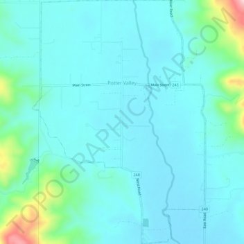
Name: Potter Valley topographic map, elevation, terrain.
Location: Potter Valley, Mendocino County, California, United States (39.29397 -123.13185 39.33655 -123.09428)
Average elevation: 317 m
Minimum elevation: 275 m
Maximum elevation: 563 m