Geolocate

Dinarayat topographic map

Click on the map to display elevation.

About this map
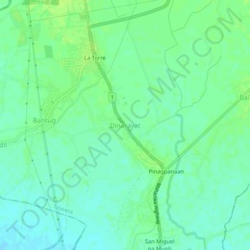
Name: Dinarayat topographic map, elevation, terrain.

Location: Dinarayat, Talavera, Nueva Ecija, Central Luzon, 3133, Philippines (15.53603 120.90721 15.57603 120.94721)

Average elevation: 38 m

Minimum elevation: 31 m

Maximum elevation: 44 m

Other topographic maps

Click on a map to view its topography, its elevation and its terrain.

Murcon Dam

Philippines > Nueva Ecija > Talavera > Minabuyoc

Average elevation: 46 m

Gear up for your next adventure:

🔪Outdoor Multitool - Versatile tool for repairs and food prep in the wild
🧳Compression Sacks - Maximize space in your backpack by shrinking gear
🧦Merino Wool Socks - Moisture-wicking comfort for long-distance hiking
🪑Insulated Seat Pad - Protect your seat from cold rocks and wet logs
🚲Handlebar Phone Mount - View topographic-map.com live while cycling

As an Amazon Associate, this site earns from qualifying purchases at no extra cost to you.