
Thank you for supporting this site ❤️
Make a donation
Make a donation
Gear up for your next adventure:
As an Amazon Associate, this site earns from qualifying purchases at no extra cost to you.
Siddhewadi topographic map
Click on the map to display elevation.
Thank you for supporting this site ❤️
Make a donation
Make a donation
Gear up for your next adventure:
As an Amazon Associate, this site earns from qualifying purchases at no extra cost to you.
About this map
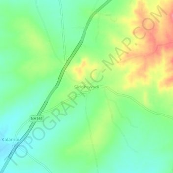
Name: Siddhewadi topographic map, elevation, terrain.
Location: Siddhewadi, Miraj, Sangli District, Maharashtra, 416422, India (16.89186 74.68894 16.93186 74.72894)
Average elevation: 637 m
Minimum elevation: 607 m
Maximum elevation: 686 m
Thank you for supporting this site ❤️
Make a donation
Make a donation
Gear up for your next adventure:
As an Amazon Associate, this site earns from qualifying purchases at no extra cost to you.