
Thank you for supporting this site ❤️
Make a donation
Make a donation
Gear up for your next adventure:
As an Amazon Associate, this site earns from qualifying purchases at no extra cost to you.
Casetti topographic map
Click on the map to display elevation.
Thank you for supporting this site ❤️
Make a donation
Make a donation
Gear up for your next adventure:
As an Amazon Associate, this site earns from qualifying purchases at no extra cost to you.
About this map
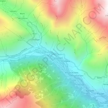
Name: Casetti topographic map, elevation, terrain.
Location: Casetti, Rosone, Locana, Turijn, Piëmont, Italië (45.41344 7.40756 45.45344 7.44756)
Average elevation: 1,198 m
Minimum elevation: 605 m
Maximum elevation: 2,192 m
Thank you for supporting this site ❤️
Make a donation
Make a donation
Gear up for your next adventure:
As an Amazon Associate, this site earns from qualifying purchases at no extra cost to you.